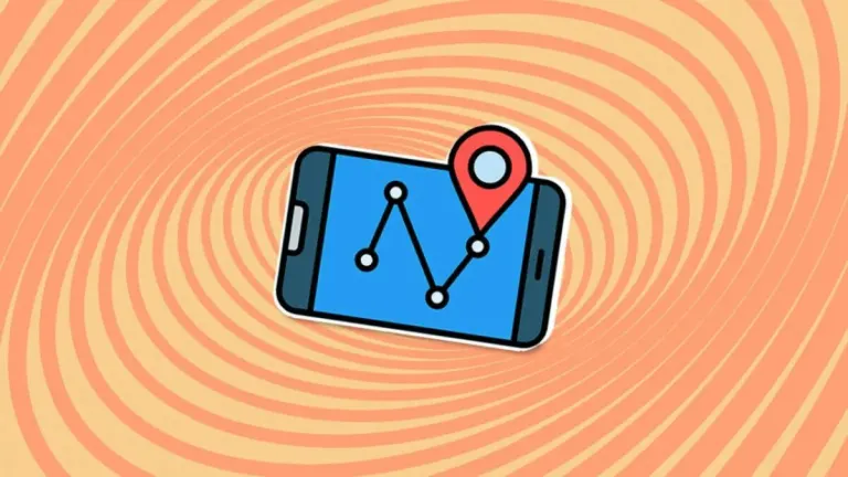
GPS Map Camera: Geotag Photos Overview
GPS Map Camera is a revolutionary photography app that merges GPS coordinates with capturing moments, offering users a unique way to document their experiences. By automatically Geotagging Photos with real-time location data, each snapshot becomes not just an image but a visual record of the precise geographic coordinates where it was taken. Share your location visually with friends and family, turning every photo into a shareable work of art that conveys a sense of place and time. The app goes beyond simple geotagging by adding timestamps, text, stickers, and emoji to photos, allowing for personalized and creative storytelling.
With GPS Map Camera, users can easily share their geotagged photos on various social media platforms, enhancing their storytelling capabilities and creating a visual diary of their adventures. The app's customizable settings, easy sharing options, and seamless gallery integration make it a must-have tool for those who want to capture and share memories in a whole new way.


User reviews about GPS Map Camera: Geotag Photos
Have you tried GPS Map Camera: Geotag Photos? Be the first to leave your opinion!